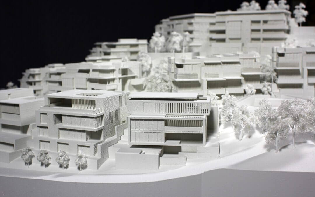
Hart Howerton commissioned a model built in phases that accurately represented the complexity between topography and structure. With multiple residential architecture, engineering, and landscape design firms included in the Yuerba Buena Island Project, it was crucial to show how each phase integrated into a seamless architectural vision.
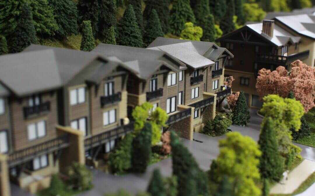
LGM was excited to get on board when approached to create a full color display of a new residential project: Frontgate at Avon. The Frontgate team needed a well designed showpiece for their opening sales center, but it needed to be done quickly and for an agreed upon budget.
KH Webb was custom designing a residential home in Vail CO. Their clients are avid outdoors people, and enjoyed the year round recreating available in the Vail Valley. The architect wanted to incorporate a custom trail map into their dedicated ski room. The map needed to feature an expansive area, including Vail Mountain’s ski runs, and local hiking trails.
Treanor was looking for a unique display for their front foyer. Roosevelt High School is an incredibly important, award winning project to their firm, and it has taken several years to complete. (Del Norte K-12 Wins Learning By Design Magazine’s Citation of Excellence Award). By showcasing the model in a traditional architectural-style palette, both site and structure capture interest.
Felton Library Discovery Park features a section focused on local watershed activity to educate its audience on the importance of water in the Santa Cruz Area. The landscape architect specified that a 3D map be built that visualized how water flows throughout the community. Participants would engage with the San Lorenzo 3D Watershed Map by pouring water directly onto its surface, then watch as the water flows towards the ocean. The landscape architect’s design also specified that this interactive map be displayed outside, uncovered, and in direct sun so the material needed to be resilient.