
Planned Development Design Aid
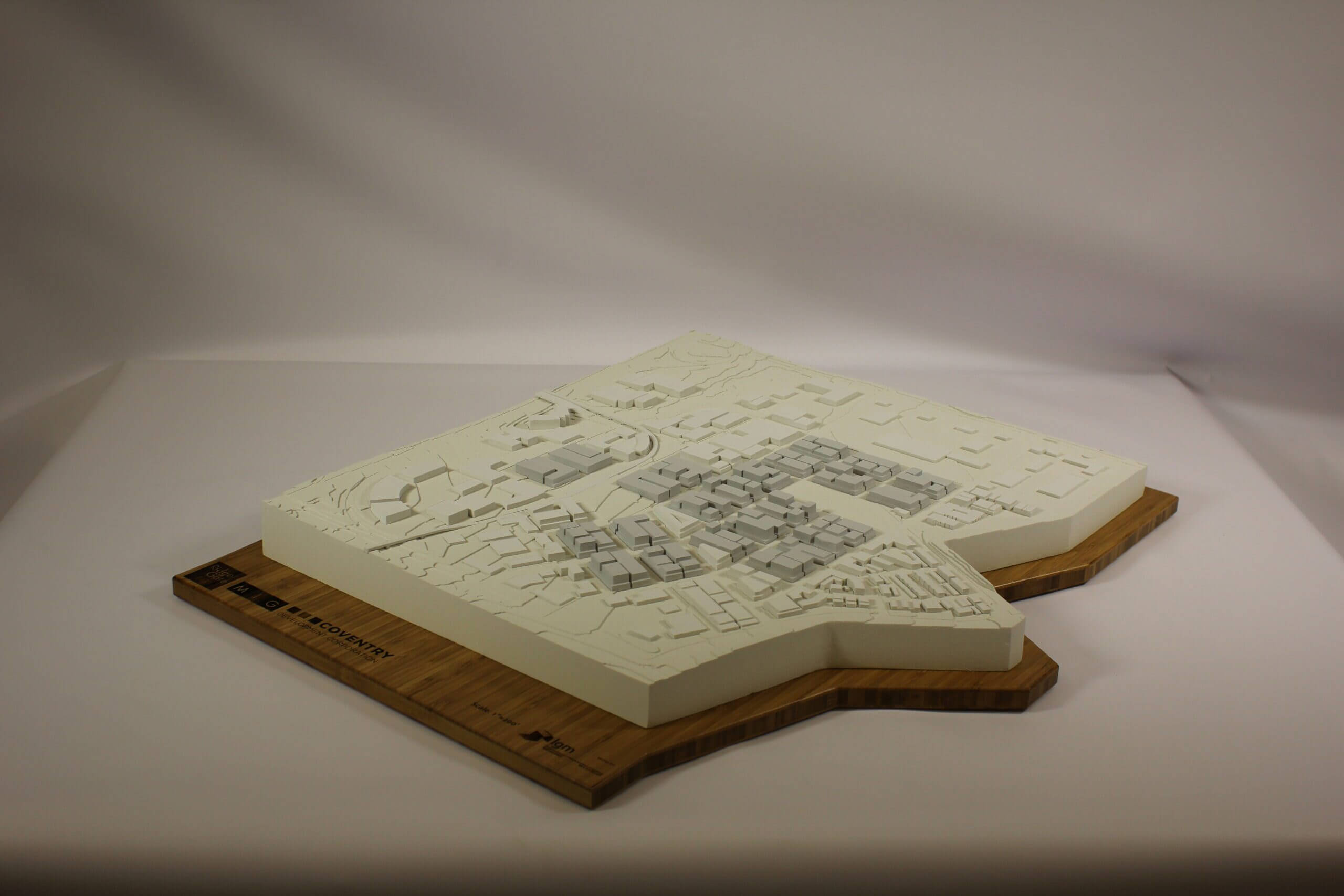
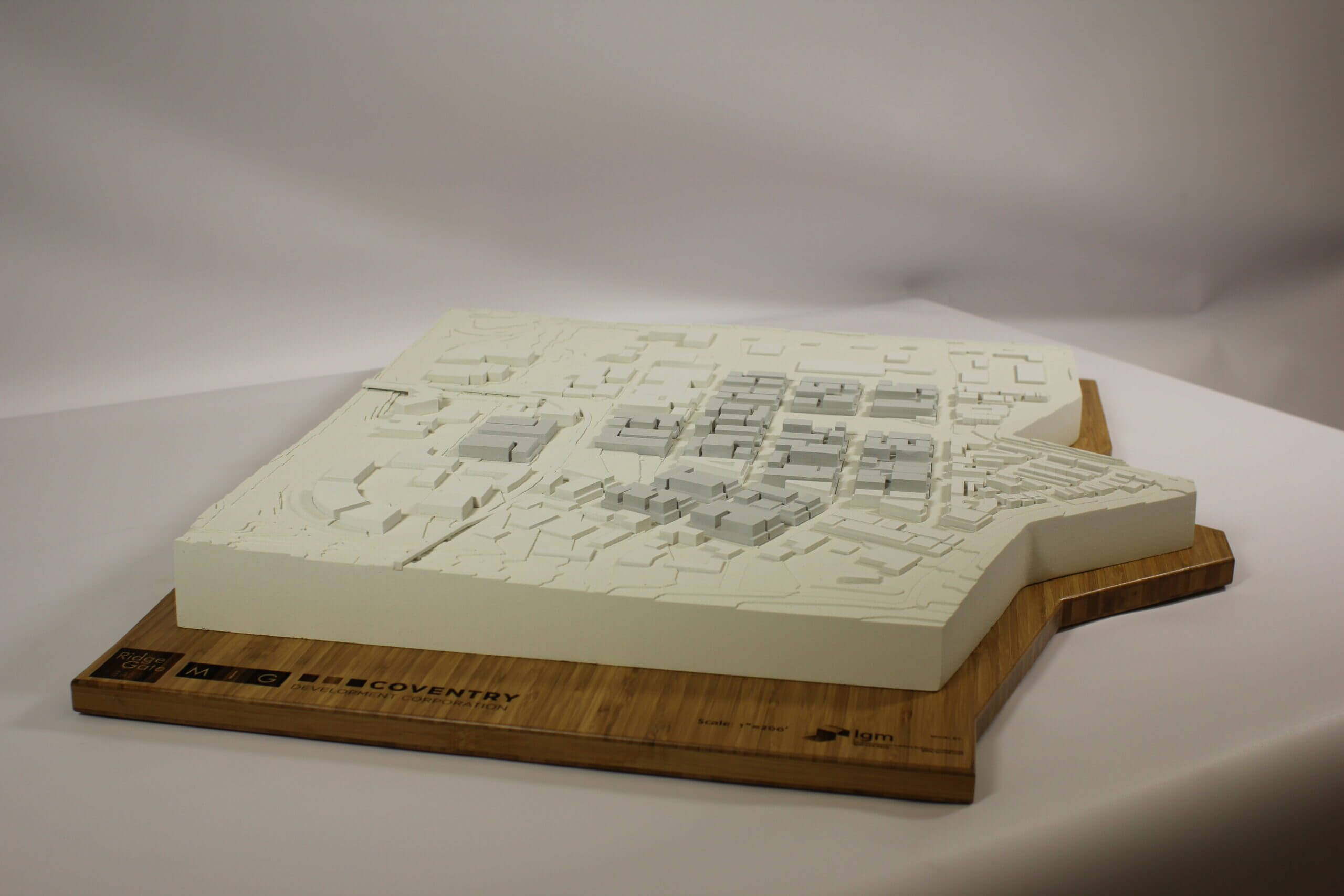
Aerial, Topography, and Structure Study Model
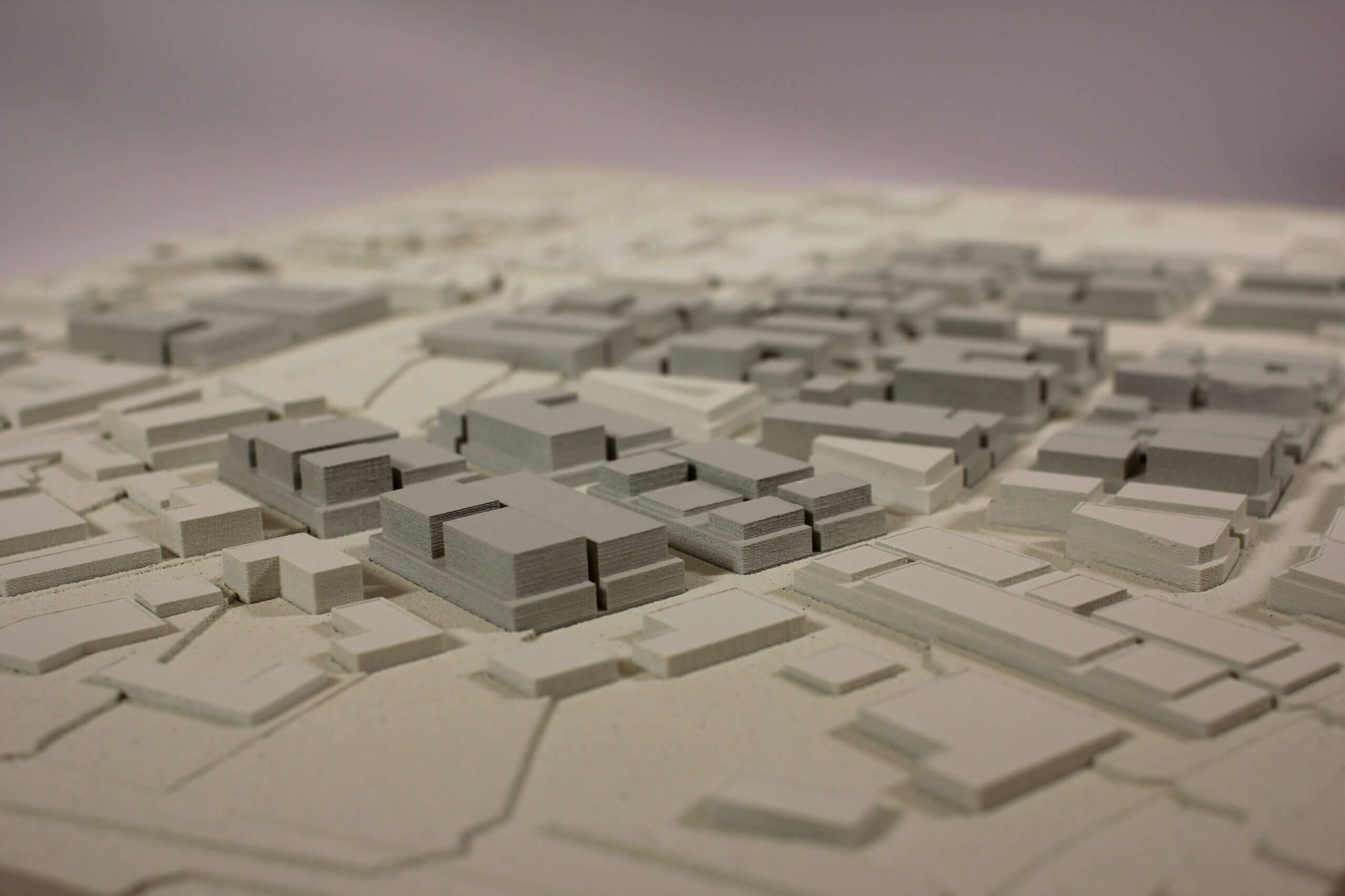
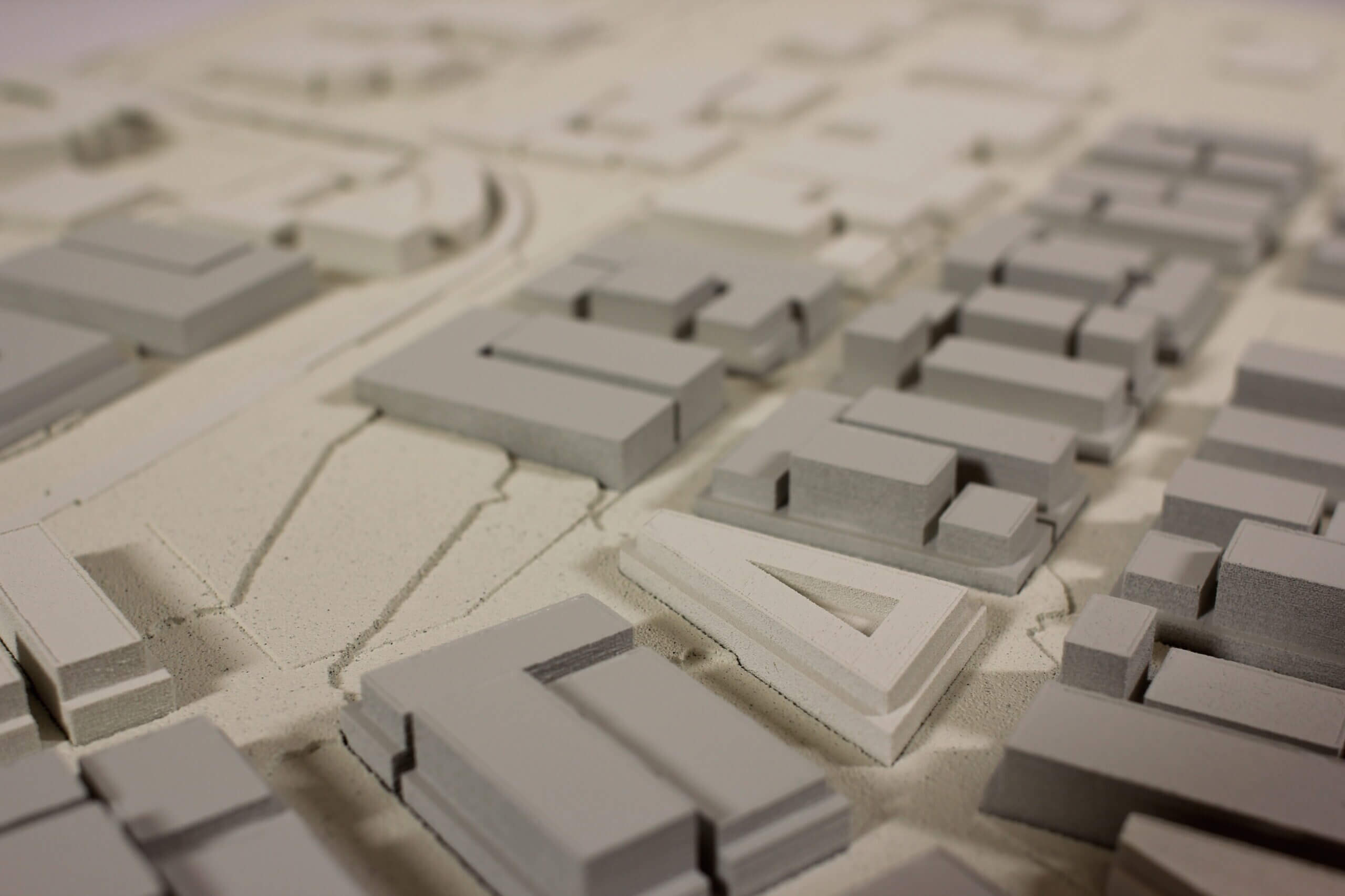
MIG COM needed to explore the Lone Tree Redevelopment plan beyond their initial 2D renderings. Due to the expansive area of interest, they decided to create a unique representation of the RidgeGate Community by introducing a study model into their work flow. The model needed to communicate the planned development district, and clearly show the relationship between commercial buildings and topography.
This model explains how new construction interacts within the context of existing conditions. We incorporated flexibility with removable buildings and interchangeable footprints. This feature helped describe the management of Denver International Airport flight paths and building height profiles. Most importantly, this was used as a tool to discuss subarea planning and design guidelines.
“Thank you so much for the quality work you guys did. The model is beautiful and the client loves it.” – Jay Renkens | Managing Principal, MIG COM
Client: MIG, Coventry Development Corp
Duration: 3 weeks
Cost Estimate: $ 5,000 – 12,000
Size: 21x26x7″
Scale: 1″=200′
Inputs: Sketchup, 2D plans
Equipment & Processes: Laser Cutting, CNC Mill, Monochrome 3D Printing, Painted Finish